New Research Maps Global Cropland Emissions to Target Climate Action in Food Systems
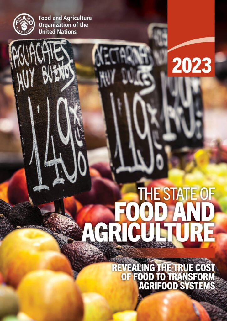
A revolutionary study published in Nature Climate Change has produced the first comprehensive, spatially explicit global assessment of greenhouse gas emissions from croplands, offering unprecedented insights into the climate impact of our food systems. This groundbreaking research provides crucial data for policymakers and agricultural planners working to balance food security with climate action.
Understanding the Research
The research team, led by scientists from international institutions, developed high-resolution maps showing greenhouse gas emissions from croplands across the globe circa 2020. Unlike previous studies that provided only national or regional averages, this work offers detailed spatial information at a granular level, enabling targeted climate interventions.
The study addresses a critical gap in our understanding of agricultural emissions. While we know that agriculture contributes significantly to global greenhouse gas emissions, detailed information about where and how these emissions occur has been lacking. This new research changes that by providing location-specific data that can guide both mitigation strategies and policy decisions.
Key Findings and Results
The research reveals several critical insights about global cropland emissions:
- Drained peatlands emerge as major emission hotspots, releasing disproportionate amounts of carbon dioxide and nitrous oxide
- Rice paddies account for significant methane emissions, particularly in Asian countries
- Fertilizer use drives substantial nitrous oxide emissions across major crop-producing regions
- Emission intensity varies dramatically between regions, even for the same crops
- Developing countries often show higher emission intensities due to less efficient practices
The study found that total global cropland emissions amount to approximately 2.5 billion tons of CO2-equivalent annually, representing about 5% of total global greenhouse gas emissions. This figure includes direct emissions from agricultural practices as well as indirect emissions from land-use changes.
Methodology and Approach
The research team employed an innovative approach combining multiple data sources and modeling techniques. They integrated satellite imagery, agricultural census data, and field measurements to create emission factors for different crops and management practices. The study covered all major crops globally, including cereals, oilseeds, vegetables, and specialty crops.
The spatial resolution of the analysis allows for identification of emission hotspots at the sub-national level, enabling targeted interventions. The researchers validated their results against independent measurements and found strong agreement, lending confidence to their findings.
Implications for Climate Action
This research has profound implications for climate policy and agricultural planning. By identifying specific locations where emissions are highest, the study enables targeted mitigation strategies rather than broad, potentially inefficient approaches.
The findings suggest that focusing on three key areas could yield significant emission reductions:
- Peatland restoration: Rewetting drained peatlands used for agriculture could eliminate a major source of emissions
- Rice management: Modified water management in rice paddies can reduce methane emissions by up to 50%
- Fertilizer optimization: Precision application and alternative fertilizers can significantly reduce nitrous oxide emissions
What This Means for Food Security
A critical aspect of the research is its assessment of mitigation trade-offs with food productivity. The study found that many emission reduction strategies can be implemented without compromising yields, and some may even enhance productivity through improved efficiency.
For example, precision fertilizer application not only reduces emissions but can also improve crop yields by ensuring optimal nutrient availability. Similarly, improved rice management techniques that reduce methane emissions often maintain or even increase yields while reducing water use.
This win-win potential suggests that climate action in agriculture need not threaten food security, addressing a common concern among policymakers and farmers.
Regional Variations and Opportunities
The research reveals significant regional variations in emission patterns and intensities. Sub-Saharan Africa, despite having relatively low absolute emissions, shows high emission intensities per unit of food produced, indicating opportunities for improvement through better practices and technology transfer.
Conversely, regions like Western Europe and North America, while having high absolute emissions due to intensive agriculture, show lower emission intensities, demonstrating the potential for efficiency improvements in other regions.
Asian countries, particularly China and India, emerge as major contributors due to extensive rice production and fertilizer use, highlighting the need for targeted interventions in these regions.
Future Directions and Policy Implications
The study’s authors emphasize that their work provides a foundation for evidence-based climate policy in the agricultural sector. The detailed spatial information can inform the design of carbon pricing mechanisms, subsidy programs, and international climate finance allocation.
Looking forward, the researchers recommend integrating this emission mapping approach into national climate planning processes and using it to track progress toward international climate commitments under the Paris Agreement.
They also call for expanded monitoring systems to track changes in cropland emissions over time, enabling adaptive management and continuous improvement in mitigation strategies.
Conclusion
This groundbreaking research marks a significant advance in our understanding of agricultural emissions and provides essential tools for climate action. By mapping cropland emissions at unprecedented spatial resolution, the study enables targeted, efficient mitigation strategies that can reduce emissions while maintaining food security.
As the world grapples with the dual challenges of feeding a growing population and addressing climate change, this research offers hope that these goals need not be in conflict. With the right policies and practices, agriculture can transition from being a major emitter to playing a crucial role in climate solutions.
The path forward requires coordinated action from policymakers, farmers, researchers, and the private sector to implement the evidence-based strategies identified in this research. The detailed spatial maps provided by this study offer a roadmap for where and how to focus these efforts for maximum impact.
References
Cao, P., Bilotto, F., & Herrero, M. (2026). Spatially explicit global assessment of cropland greenhouse gas emissions circa 2020. Nature Climate Change. Available at: https://www.nature.com/articles/s41558-026-02558-4
Nature Portfolio. (2026). Agriculture – Latest research and news. Nature. Available at: https://www.nature.com/subjects/agriculture